
Geopictorial Maps
Maps for business and governments
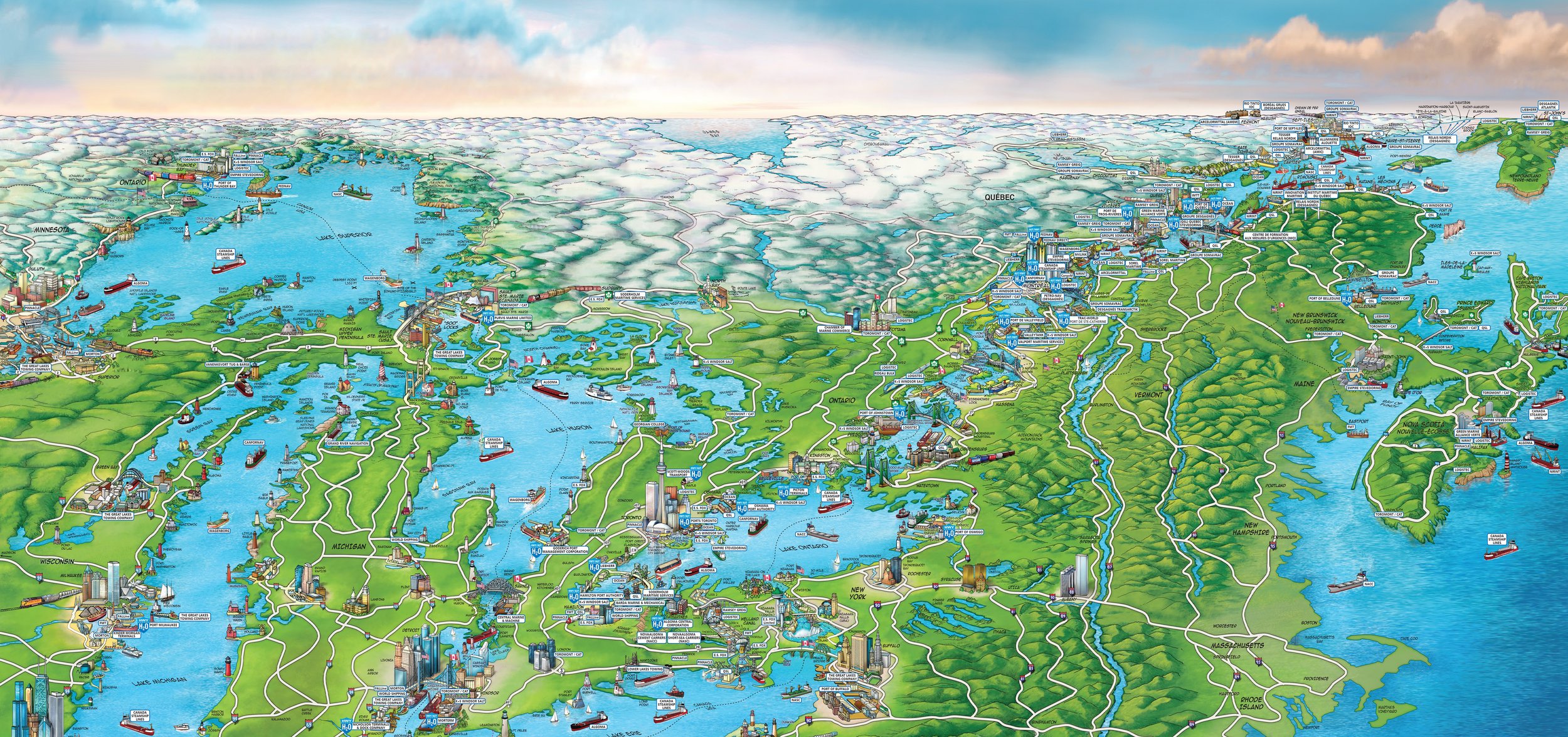
One image, a thousand words
Companies and governments can personalize our maps allowing them to target themes and precise objectives such as promotion of sectoral economic activity, recruitment policies, cultural events, tourist attractions, landmark proximity and so on.

Illustrated and navigable maps
A cartographic communications tools to present all the richness of your territory in one attractive and coherent picture.

The bird’s eye view
Our maps are ideal for the identification of precise community clusters of industries, tourist attractions, shopping malls, campus, and much more.